Light detection and ranging (lidar) research focus on the planning and collection of lidar data as well as the processing and interpreting of 3D outcrop models.
Published
Updated on
LIDAR may be used to in a variety of ways from visualization of outcrops to collecting measurements from outcrop models to using processed models for climate change scenarios.
- Comparison studies of measurements collected from lidar models,mobile phone applications, and traditional compass.
- Roghi Mountain, Greece, in order to model and interpret the placement of active faulting.
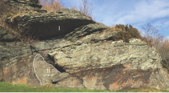
- Identifying lithologic types by reflectance values and interpreting structures from outcrop models.
- A join-project with the Stavanger Maritime Museum focuses on the modeling of bird coastal habitats and the possible loss of those habitats from rising sea level.
- Mycenaean Gravesites. In 2017, a collaboration with the University of California-Berkeley began in order to collect data and create 3D models of archaeological sites in Greece. In 2018, a PhD was assigned to this project where the geology of the area will also be mapped and interpreted. This project will overlap with GIS research activities.